It's raining snow in Northern Ostrobothnia
Jane and I returned to Oulu on Friday, October 27, on the Pendolino train 45 from Helsinki. We started out in heavy rain, and within a few hours (it's about a six-hour trip) we were being propelled by a snowstorm that swept through the region and dropped about 10 centimeters of snow. In Finnish, the verb for "to snow" is sataa lunta, which (I think) literally means "to rain snow." The locals welcome the snow because it brightens things up. They say it is likely to melt, but some years it just accumulates through the winter, which doesn't even start officially for a couple of months.
So, this is serious business. The snow is lovely, but treacherous. I have trouble walking on it, but the stalwart Finns continue to ride their bikes, undaunted. There are more polar walkers out these days, and I suppose some people have started to wax their cross-country skis.
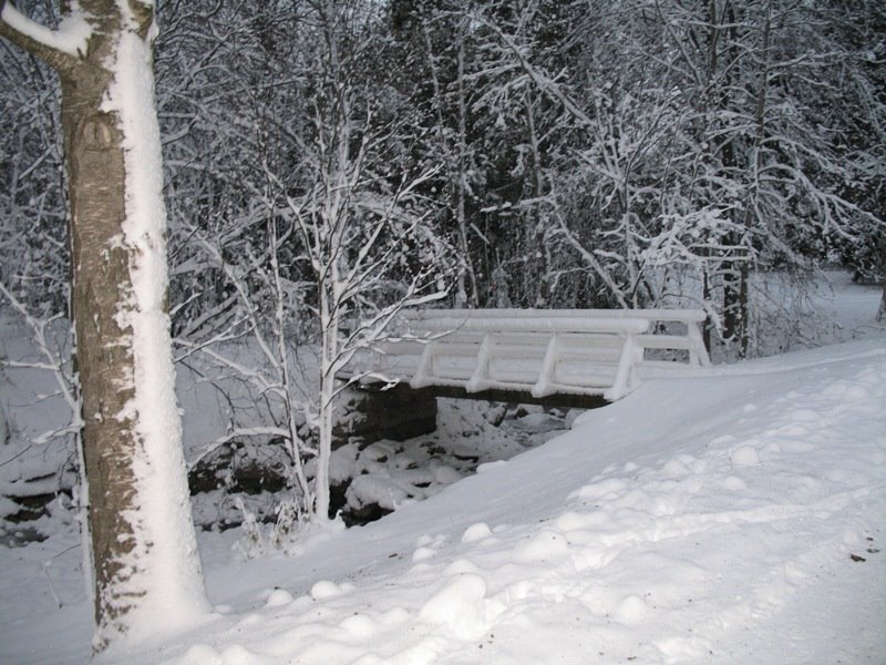
On Sunday afternoon we walked through Ainola Park (see photo above) to the Northern Ostrobothnia Museum (Pohjois-Pohjanmaan museo). There are a number of interesting exhibits, including one on Sámi culture, but for me the main attractions have to do with the history of Oulu. One is a digital exhibit of historic maps. Changes in the physical city are quite well documented, and extremely well presented with digital images and overlays. And urban form reflects changing political circumstances, as a Swedish tar-exporting town later gave way to a Russian provincial capital. Through the years there were a number of major fires, each followed by an attempt to regularize the street grid and provide room for rebuilding and expansion.
The second main attraction for anyone interested in the history of city planning is a huge three-dimensional model of the city as it existed in 1938. It is so big that they have installed a remote-controlled camera that can zoom in for aerial views of any district. As it turns out, the model helps reveal the extent of the damage wrought by the long war years, and also the extent of post-war reconstruction work.
My suspicions about the Alvar Aalto ground plan for Toivoniemi were pretty much on the mark. This was land reclaimed from the river when a new channel was dug for the Merikosken power station. The nearby neighborhood of Tuira was completely refashioned after the war. It looks as if there were no high-rise blocks of flats in Tuira prior to the war. Now there is almost nothing else. This is a great resource for teaching urban history. I wish I had known about it in time to incorporate it into my syllabus.
Click on the title of this post to be redirected to the Northern Ostrobothnia Museum.
posted by Kenneth Kolson at 8:45 AM
2 comments
![]()

